
While over the last years reliable weather and climate data for ecosystem model applications adressing climate change impacts and the development of adaptation strategies have become available for Austria (INCA (Haiden et al. 2011), SPARTACUS (hiebl and Frei 2016, 2017), ÖKS15 (Chimani et al. 2016), etc. ), the provision of wind speed data for storm damage modeling and simulation remains a huge challenge.
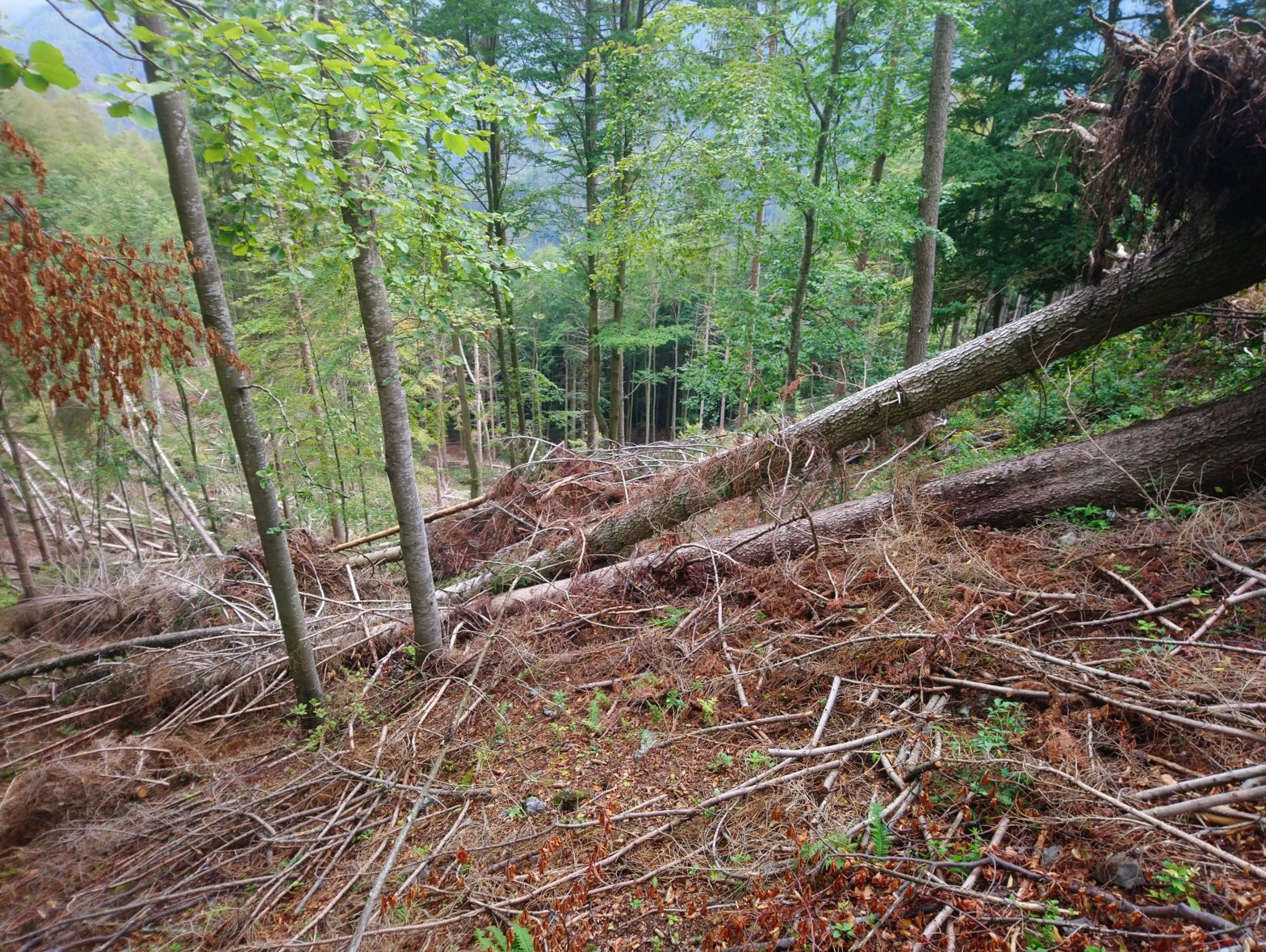
From detailed post-hoc studies after storm events and from experiments (i.e, wind tunnel experiments, mechanical tree bending experiments) it is known that at wind gust speed of appr. 80 km/h dispersed single tree damage within forest stands occurs (e.g., Usbeck et al. 2010). At wind gust speeds above 120 km/h catastrophic damage is to be expected (i.e. whole stands are blown down). While at such high gust speeds stand conditions (i.e. species composition, tree crown length, heigh-diameter ratio) do not show significant correlation with observed damages, at lower wind speeds forest management can positively affect the susceptibility of stands (Usbeck 2015).
However, in contrast to these findings, recent experiences show, that in correlative models that link observed wind damage data in forests and available wind speed data from weather models, the explanatory power of wind speed is low (e.g., Pasztor et al. 2014a, Schindler et al. 2009, Albrecht et al. 2012, Albrecht et al. 2013). Obviously, available wind speed data from weather and climate models are not suitable (magnitude of wind speed, spatial resolution) to sufficiently explain the occurrence of wind damage in forests.
There are several reasons for that. (1) Wind is spatially and temporally highly variable, since it depends on local surface roughness, pressure gradients, stability of the atmosphere, and geometry of the terrain. Typical modern regional weather models and regional climate models (RCMs) have got a horizontal resolution of approximately 2km and 10km respectively. This is too coarse to represent the wind on a local scale directly. (2) Spatial interpolation of wind data from 10x10km RCM gridcells is difficult because wind measurements (i) are sparse and prone to disruptions at local scale (e.g. influences of nearby buildings or trees), and (ii) the standard sensor heigt above ground is 10 meters, which is still in the regime of the surface layer, where the air is perturbed due to friction. Thus, measured data may not be representative for surrounding landscape.
Summarizing, wind speed data from weather and climate model simulations are not suitable for direct use in spatially explicit forest ecosystem simulation. To fully utilize the potential power of predictive ecosystem models with integrated disturbance modules, either better wind speed data or reliable proxies are needed that better represent the “true” wind climate.